-
Notifications
You must be signed in to change notification settings - Fork 1.4k
Earth curvature correction
domlysz edited this page Mar 10, 2020
·
1 revision
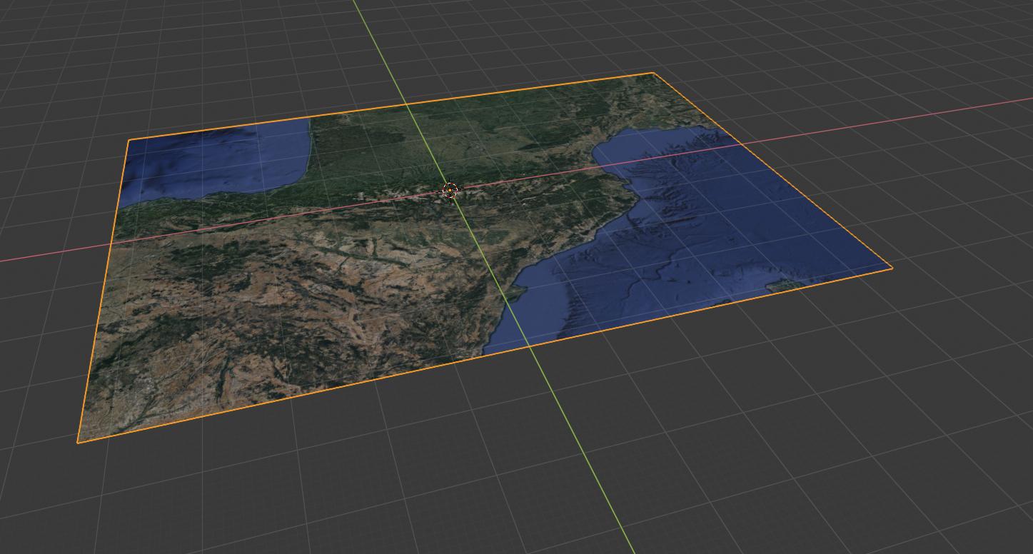
This operator apply the earth curvature to a plane mesh map. The correction is about 125m by 40km, and can be useful to better estimate visibility analysis on a large territory.
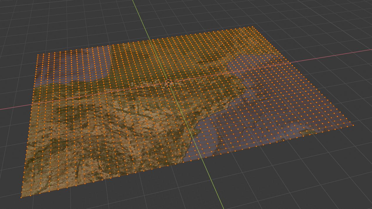
The plane mesh must be sudivised beforehand or the curvature will only apply to corner points.


- Preamble
- Web Geodata
- Import
- Export
- Camera
- Mesh
- Object
- Nodes
- Side notes :