Based on an osmnx example and the accompanying blogpost, I'm playing around with German and European cities. I also released a blog post of my own, and posted some on-demand images on mastodon, including one image for all of Denmark.
If you want to use this: Make sure you have Python 3.6 (python -V).
For the grid images you'll also need to install imagemagick. If you don't have
the Titillium font installed, modify the font to something like font =
{'family': 'DejaVu Sans'}.
Install the requirements with pip3 install -r requirements.txt, then take a
look at the data files and build your own. You can have as many cities in
there as you wish, but it should be at least three. Next, check that the cities
you entered all refer to valid regions, and not just points on the map:
python3 street_orientation.py check data/my_cities.json
If this script doesn't print anything, you're good, and can run:
python3 street_orientation.py list data/my_cities.json
Depending on the amount of cities you chose, and their size, and the computer you're running this on, expect it to take about five to fifteen minutes. The script prints a lot of debug output, so you'll know it's still working.
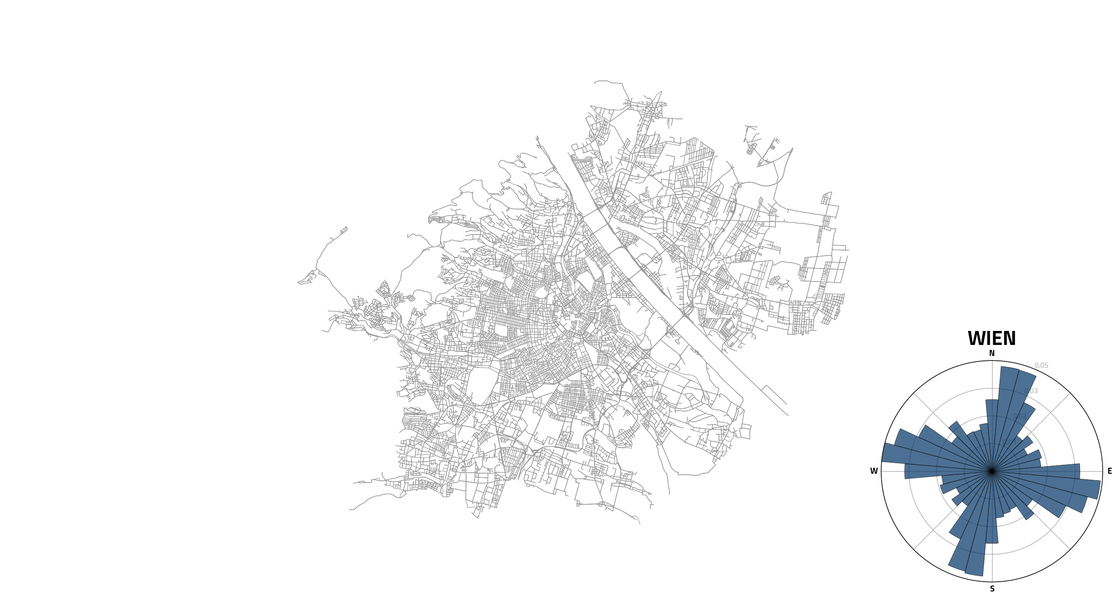
If you want an image with the radial histogram of one city with the map of the city, run this instead:
python3 street_orientation.py single data/my_cities.json
If you can't install Python 3.6, you'll have to transform every f'' string from:
f'X {FOO} Y {BAR}'
to:
'X {FOO} Y {BAR}'.format(FOO=FOO, BAR=BAR)