vrx_2019 waypoint_vis_tutorial
Waypoint visualization allows users to see waypoint markers for station-keeping and wayfinding tasks inside Gazebo. The visualization markers only show the position of the waypoints and not their orientation.
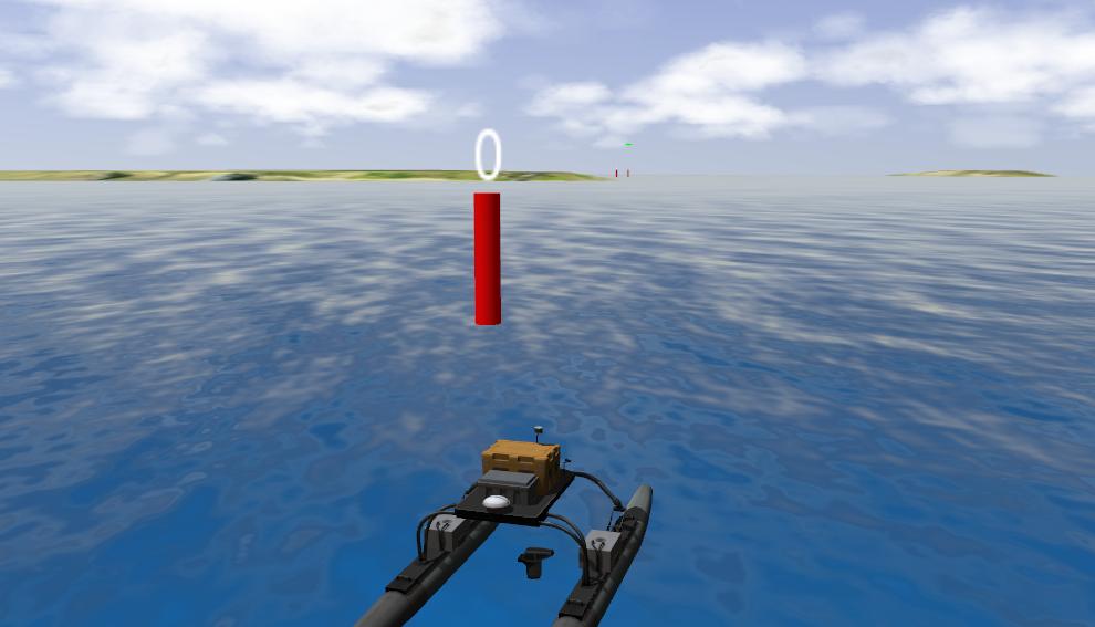
Waypoint visualization is enabled by default. Parameters for markers can be modified by editing the SDF in stationkeeping_task.world.xacro or wayfinding_task.world.xacro inside vrx_gazebo/worlds.
<markers>
   <material>Gazebo/Green</material>
   <scaling>0.2 0.2 2.0</scaling>
   <height>0.5</height>
</markers>
To disable the visualization, simply remove the <markers /> tag.
-
<material />- specifies the Gazebo material used for the marker. (Default: Gazebo/red) -
<scaling />- specifies scaling for the marker. (Default: 0.2 0.2 1.5) -
<height />- height of marker above water (Default: 0)
Note: all parameters are optional